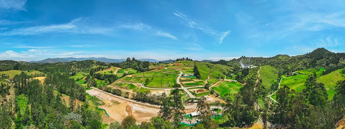
Your project seen from above and from within.
Aerial photo and video with drone, and 360° tours on the ground and in the air that your client can explore from the web.
- Aerocivil-certified pilot
- Civil liability insurance
What we capture.

Aerial photo
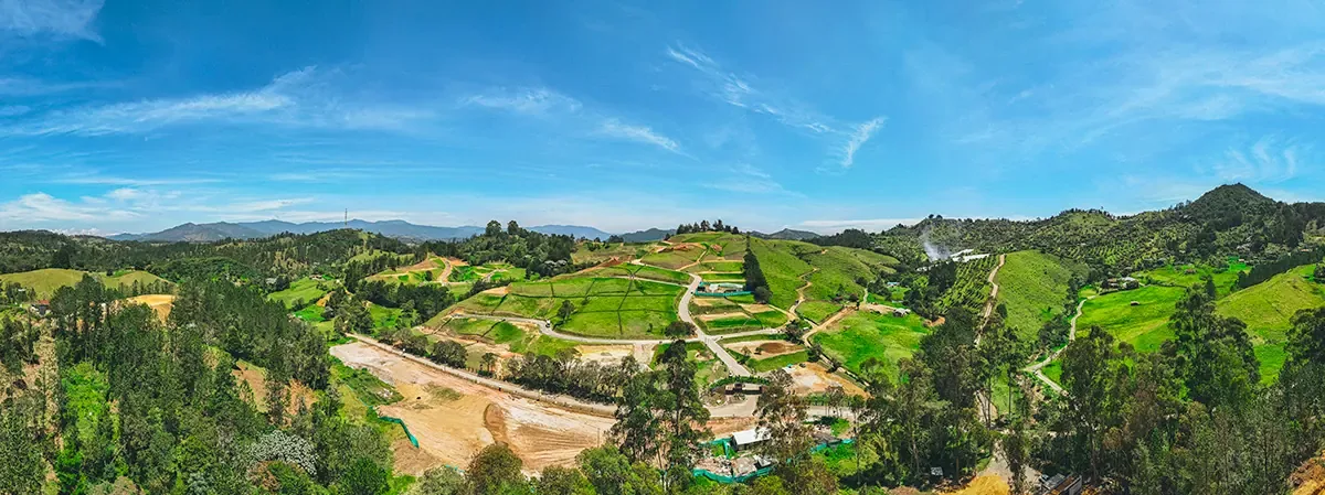
Construction sites, farms, plants, outdoor events and terrain, with framing impossible from the ground.

Aerial video
Opening shots, flyovers and pieces for corporate video, projects and campaigns.

360° photo on the ground
Spaces, facilities and venues the visitor explores by dragging with a finger.

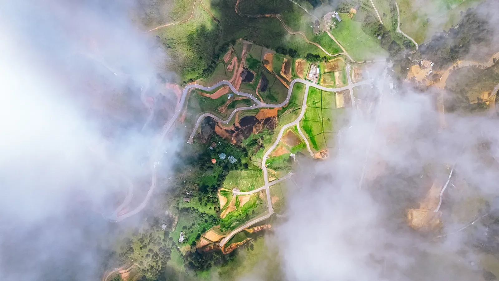
Aerial 360° photo
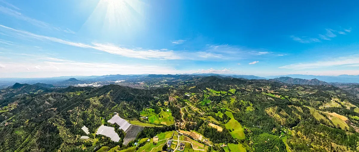
The full view of the land or project from the air, ready to embed in your website.
Explore this aerial 360°.
Drag with your finger or mouse to look in every direction.

Loading tour…
If it doesn't load, reload the page or let us know.
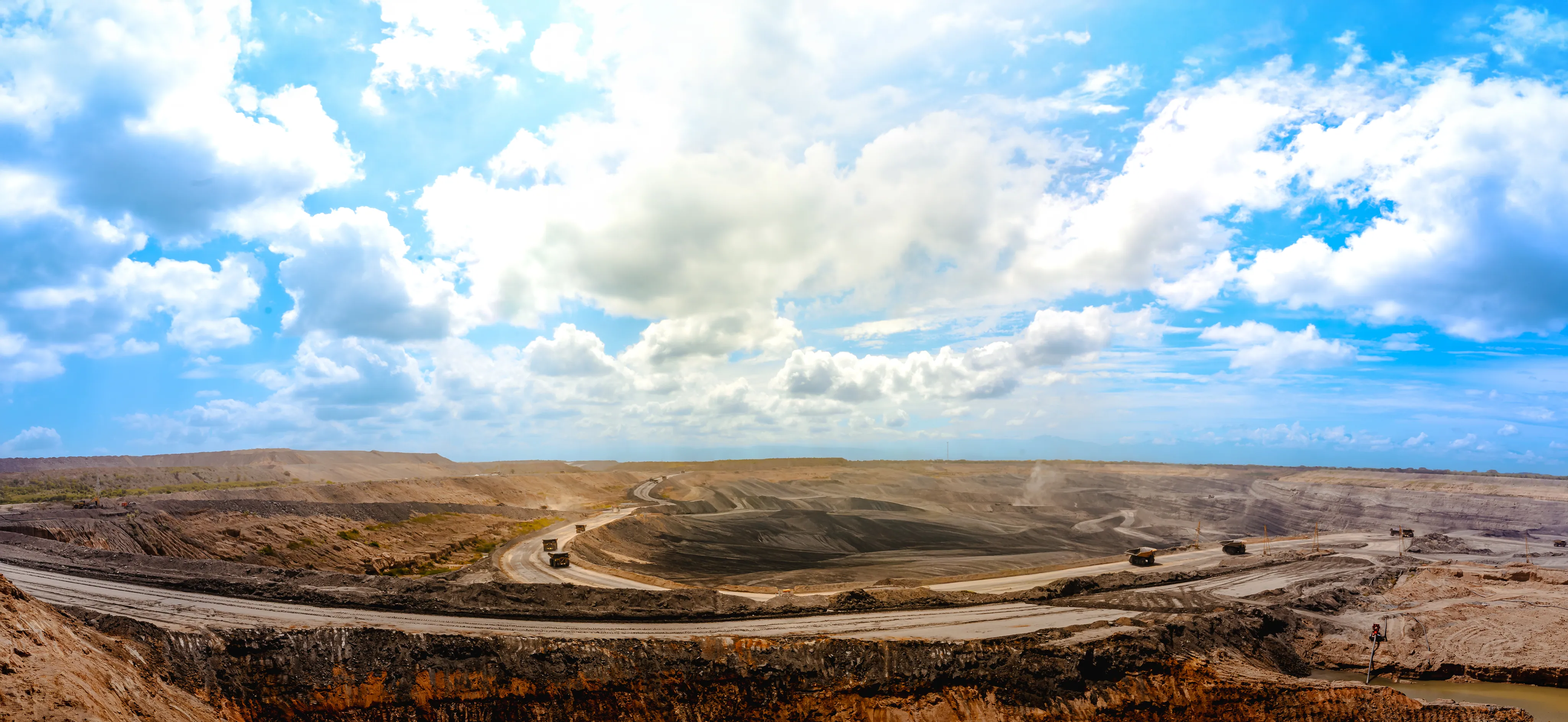
A complete horizon.
Swipe sideways to travel an open-pit mine from end to end.
 Aerial reel
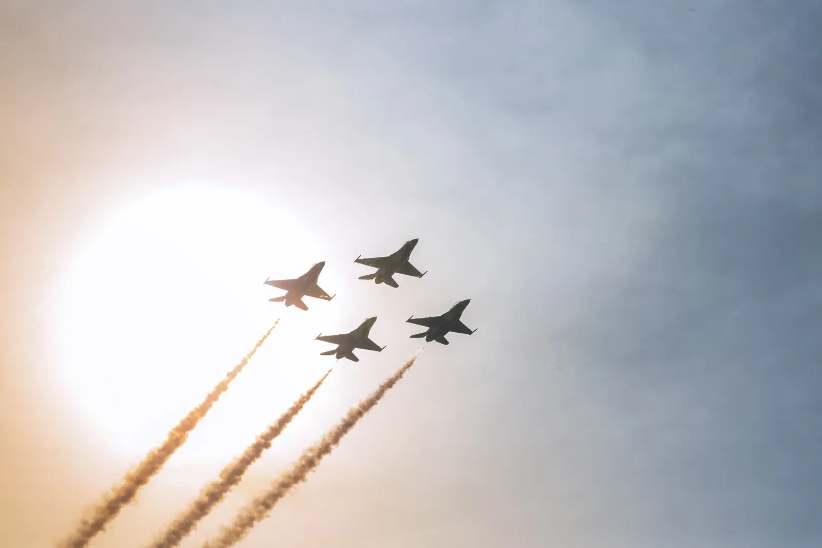
This is one of our flights.
From the air.






Flights with backing.
Every flight is performed by a pilot certified by Aerocivil and covered by civil liability insurance. For you that means less risk: projects on construction sites, in plants or at events with an audience are planned before takeoff.
What is a 360° tour?
A spherical image the visitor explores by dragging. It is captured on the ground or from the air and embedded in your web page.
Does it look good on mobile?
Yes. It works with a finger and only downloads the image when the person decides to explore it.
Do you have permits and insurance?
The pilot is certified by Aerocivil and we carry civil liability insurance. If the zone requires additional authorization, we handle it during planning.
Tell us what you want to see from above.
Send us the location and the goal. We'll reply with a flight proposal.
Message us on WhatsApp